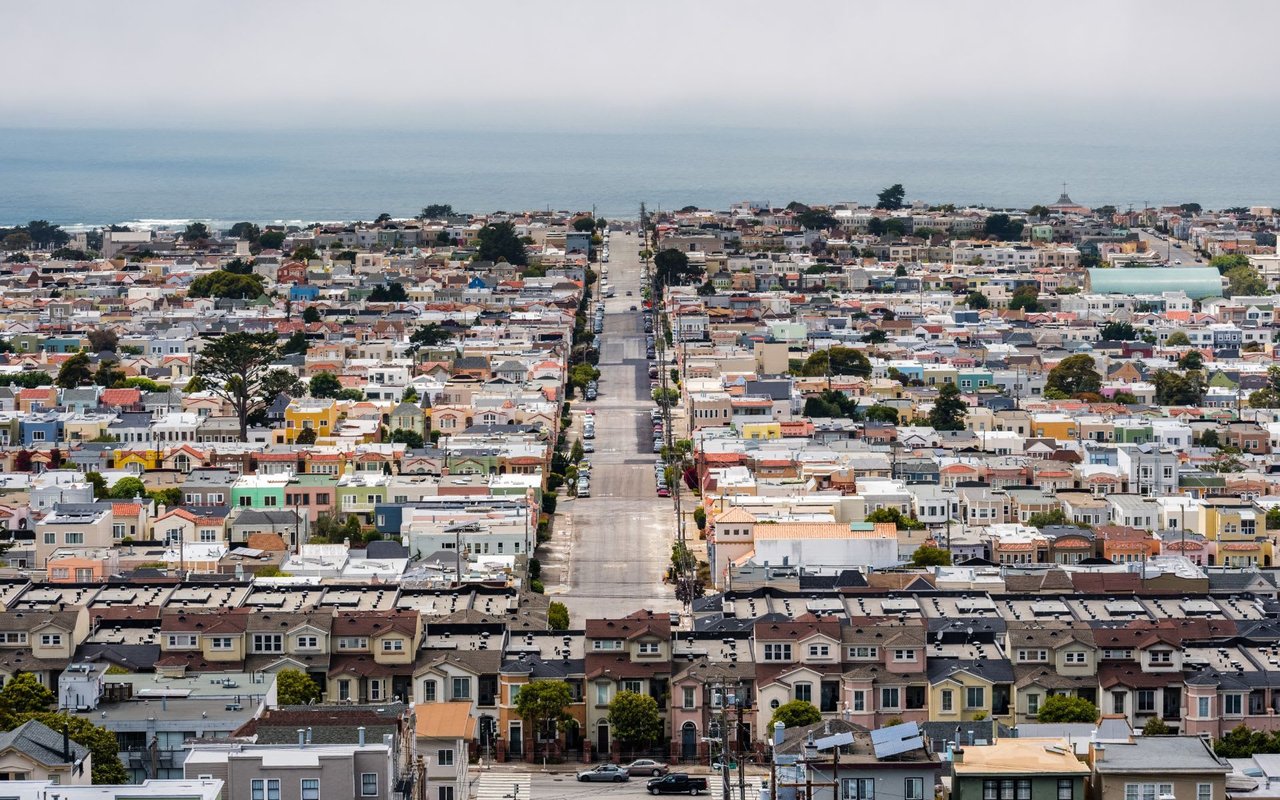
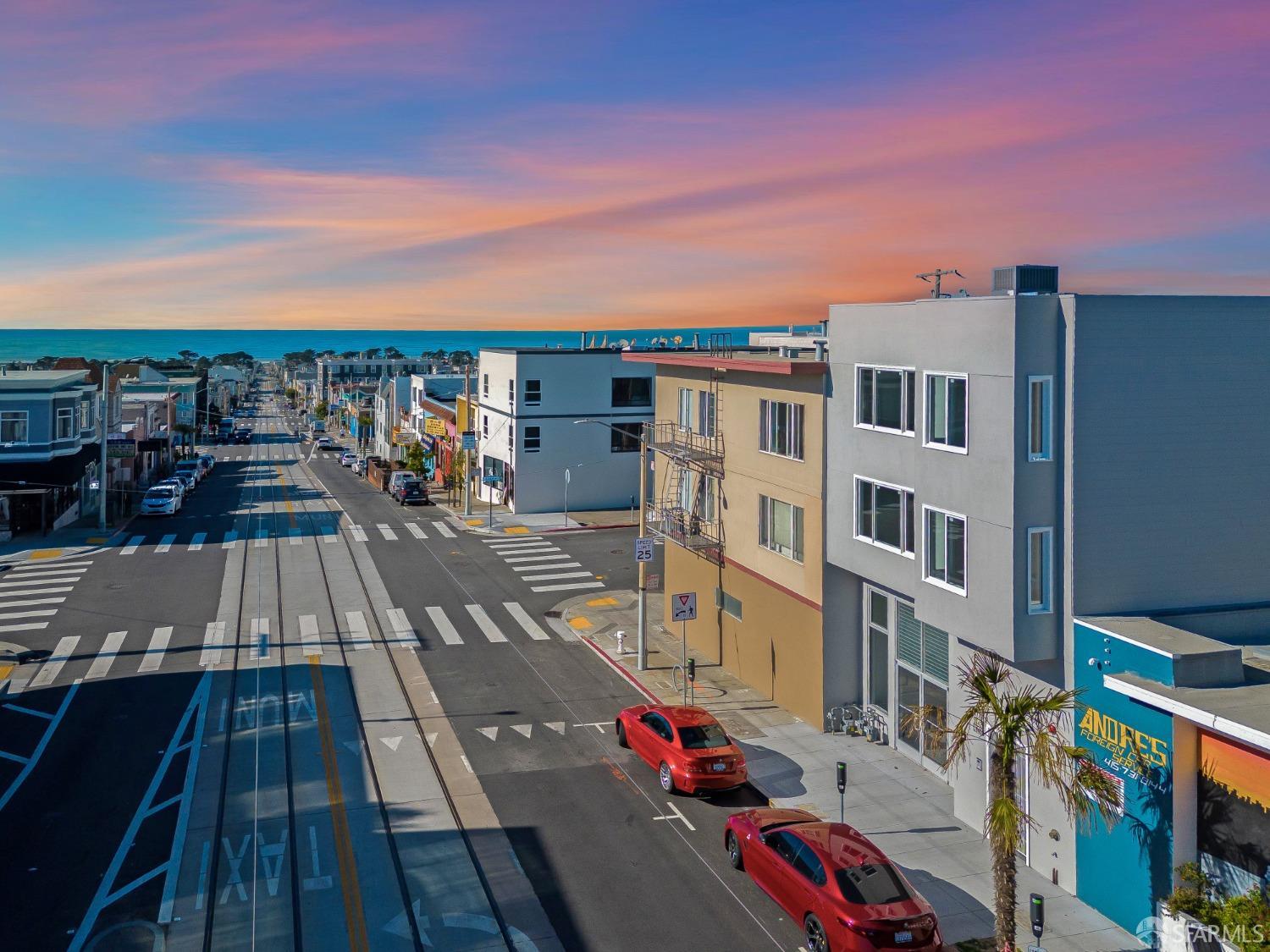
Located in the western portion of San Francisco, the Inner Sunset is one of several microneighborhoods that make up the Sunset District. Despite its mostly foggy weather, with September to November being the sunniest months, the area is sought for its laid-back vibe and eclectic mix of restaurants serving a variety of cuisines. Bordered by Moraga Street to the north, 19th Avenue to the east, Arguello Boulevard to the west, and Lincoln Way to the south, the Inner Sunset is a pedestrian-friendly microneighborhood with a vibrant commercial strip. Located about three miles from the Pacific Ocean, the microneighborhood lies between Golden Gate Park and Vicente Street. The Inner Sunset traces its history back to 1887 with the arrival of developer Aurelius E. Buckingham while the 1894 California Midwinter Exposition sparked interest and spurred growth in the microneighborhood and its surrounding areas.
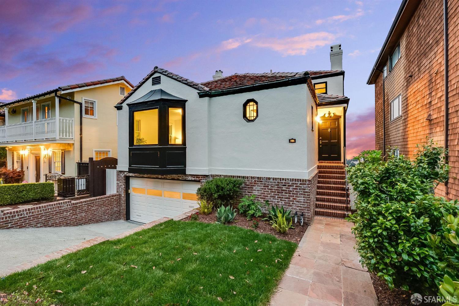
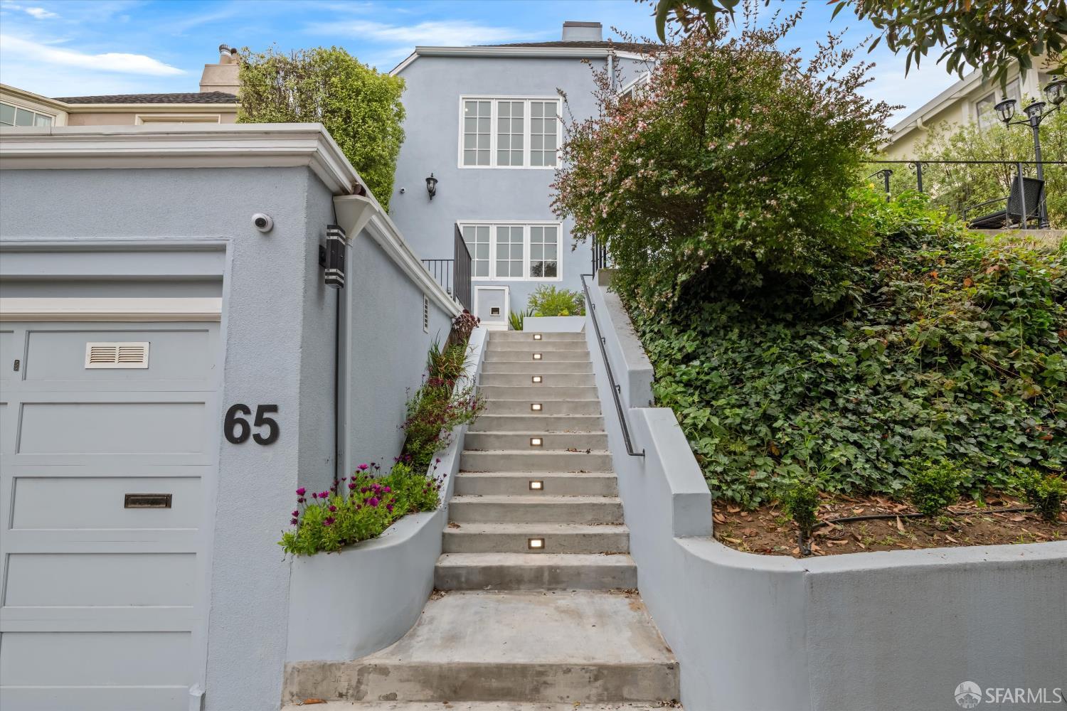
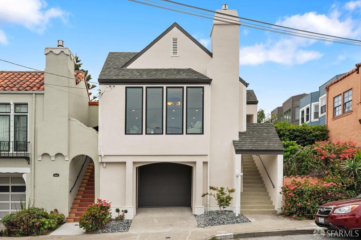
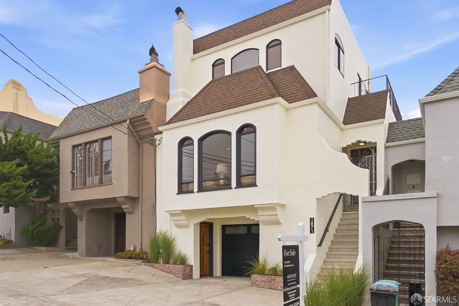
The Inner Sunset offers a mix of tract homes and row houses on small lots as well as a selection of newer construction apartment buildings. Prevalent architectural styles include Victorian and Edwardian. The properties in the Inner Sunset are generally known to offer more living space than other neighborhoods close to downtown.
42,523 people live in Sunset District , where the median age is 45.4 and the average individual income is $74,088. Data provided by the U.S. Census Bureau.
Total Population
Median Age
Population Density Population Density This is the number of people per square mile in a neighborhood.
Average individual Income
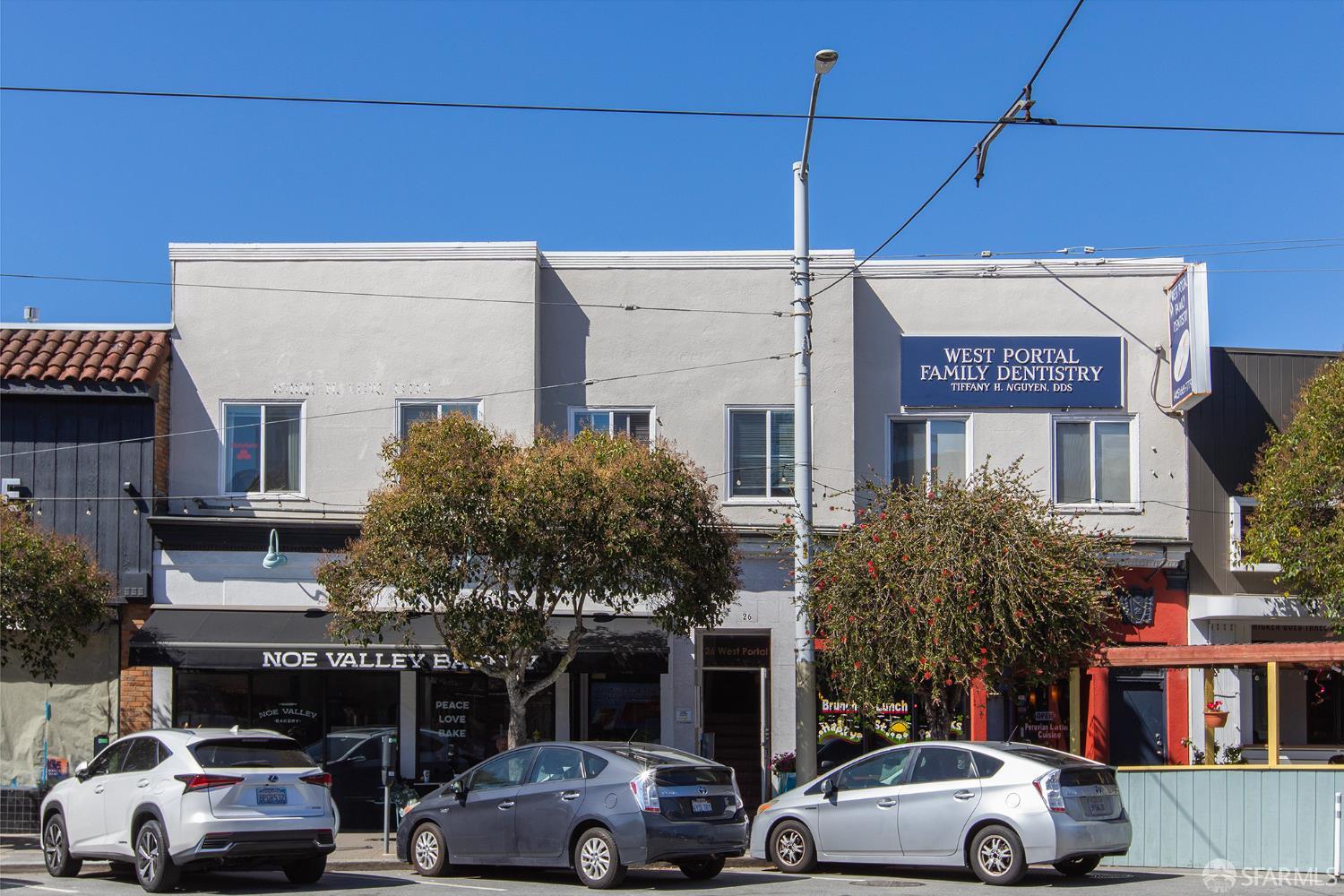
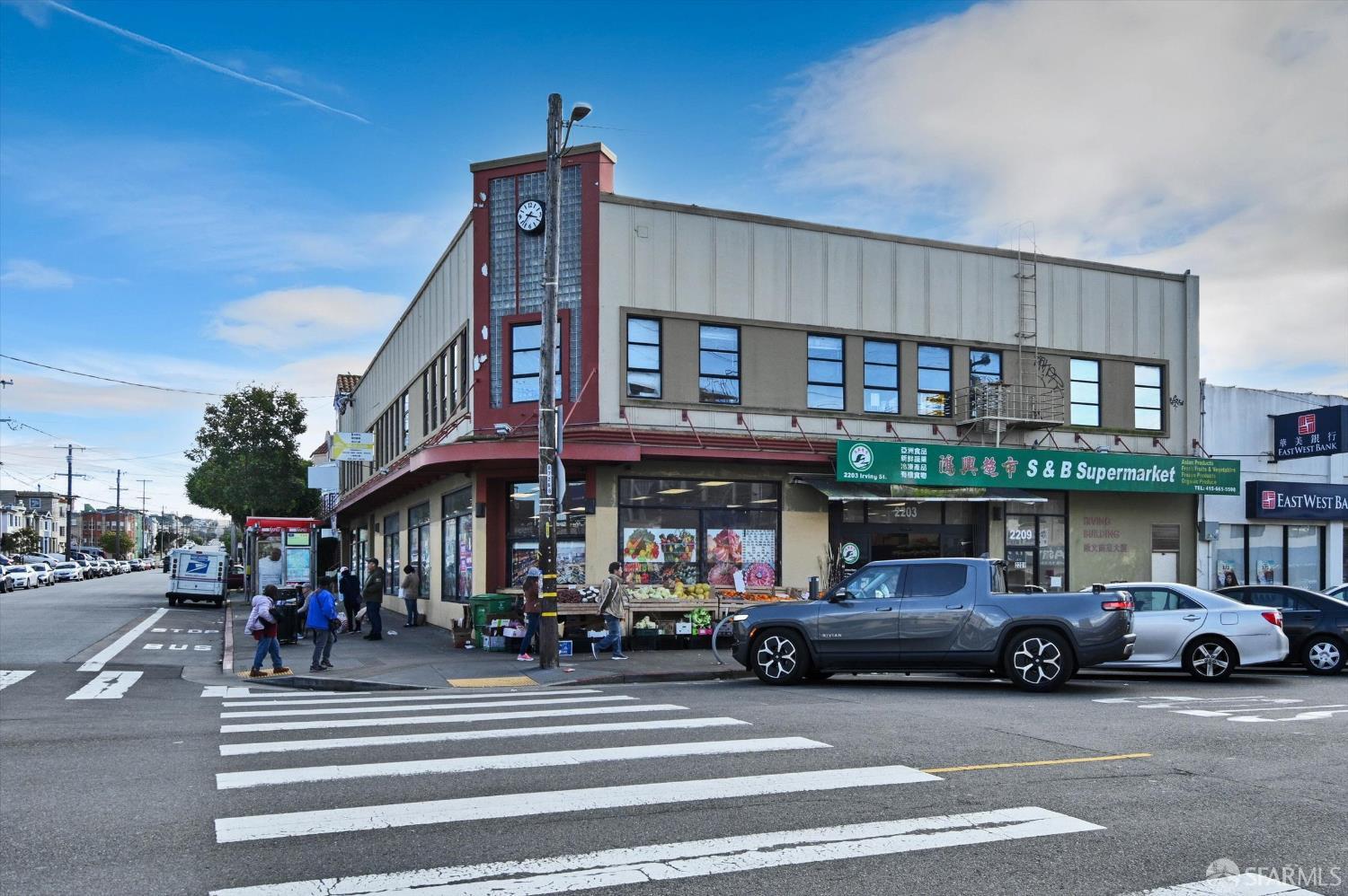
There's plenty to do around Sunset District , including shopping, dining, nightlife, parks, and more. Data provided by Walk Score and Yelp.
Explore popular things to do in the area, including Agua Frisco, Golden Morsels, and Embrace .
| Name | Category | Distance | Reviews |
Ratings by
Yelp
|
|---|---|---|---|---|
| Dining | 4.61 miles | 10 reviews | 5/5 stars | |
| Dining | 1.18 miles | 13 reviews | 5/5 stars | |
| Shopping | 4.42 miles | 5 reviews | 5/5 stars | |
| Active | 3.03 miles | 6 reviews | 5/5 stars | |
| Active | 3.71 miles | 8 reviews | 5/5 stars | |
| Active | 4.55 miles | 5 reviews | 5/5 stars | |
| Active | 0.98 miles | 6 reviews | 5/5 stars | |
| Beauty | 4.59 miles | 13 reviews | 5/5 stars | |
| Beauty | 4.25 miles | 9 reviews | 5/5 stars | |
| Beauty | 3.27 miles | 5 reviews | 5/5 stars | |
| Beauty | 3.76 miles | 15 reviews | 5/5 stars | |
| Beauty | 1.46 miles | 24 reviews | 5/5 stars | |
| Beauty | 4.76 miles | 10 reviews | 5/5 stars | |
| Beauty | 3.65 miles | 14 reviews | 5/5 stars | |
| Beauty | 1.11 miles | 14 reviews | 5/5 stars | |
| Beauty | 2.43 miles | 7 reviews | 5/5 stars | |
|
|
||||
|
|
||||
|
|
||||
|
|
||||
|
|
||||
|
|
Sunset District has 15,355 households, with an average household size of 2.75. Data provided by the U.S. Census Bureau. Here’s what the people living in Sunset District do for work — and how long it takes them to get there. Data provided by the U.S. Census Bureau. 42,523 people call Sunset District home. The population density is 16,834 and the largest age group is Data provided by the U.S. Census Bureau.
Total Population
Population Density Population Density This is the number of people per square mile in a neighborhood.
Median Age
Men vs Women
Population by Age Group
0-9 Years
10-17 Years
18-24 Years
25-64 Years
65-74 Years
75+ Years
Education Level
Total Households
Average Household Size
Average individual Income
Households with Children
With Children:
Without Children:
Marital Status
Blue vs White Collar Workers
Blue Collar:
White Collar: